
Advanced analytic insights from geospatial and historic incident data along the route of your infrastructure.
Correlation with real time and seasonal climatic data to alert you before the incident happens. Increase decision-making confidence and reduce time-to-action.

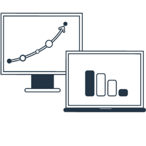
Access our platform from the cloud or through direct feeds to your visualization workstation via RESTful APIs.
Advanced analytic insights from geospatial data along pipelines, without having to send crews into the field.
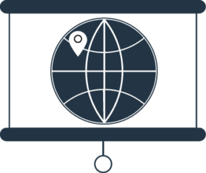
Advanced risk assessment for your planned route based on geospatial big data, decades of historic analysis and meteorological information.
Correlation with real time and seasonal climatic data to alert you before the incident happens.
Advanced analytic insights from geospatial data along pipelines, without having to send crews into the field.
Correlation with real time and seasonal climatic data to alert you before the incident happens.
Access our platform from the cloud or through direct feeds to your visualization workstation via RESTful APIs.